TWF2023-11 McNamara's Road
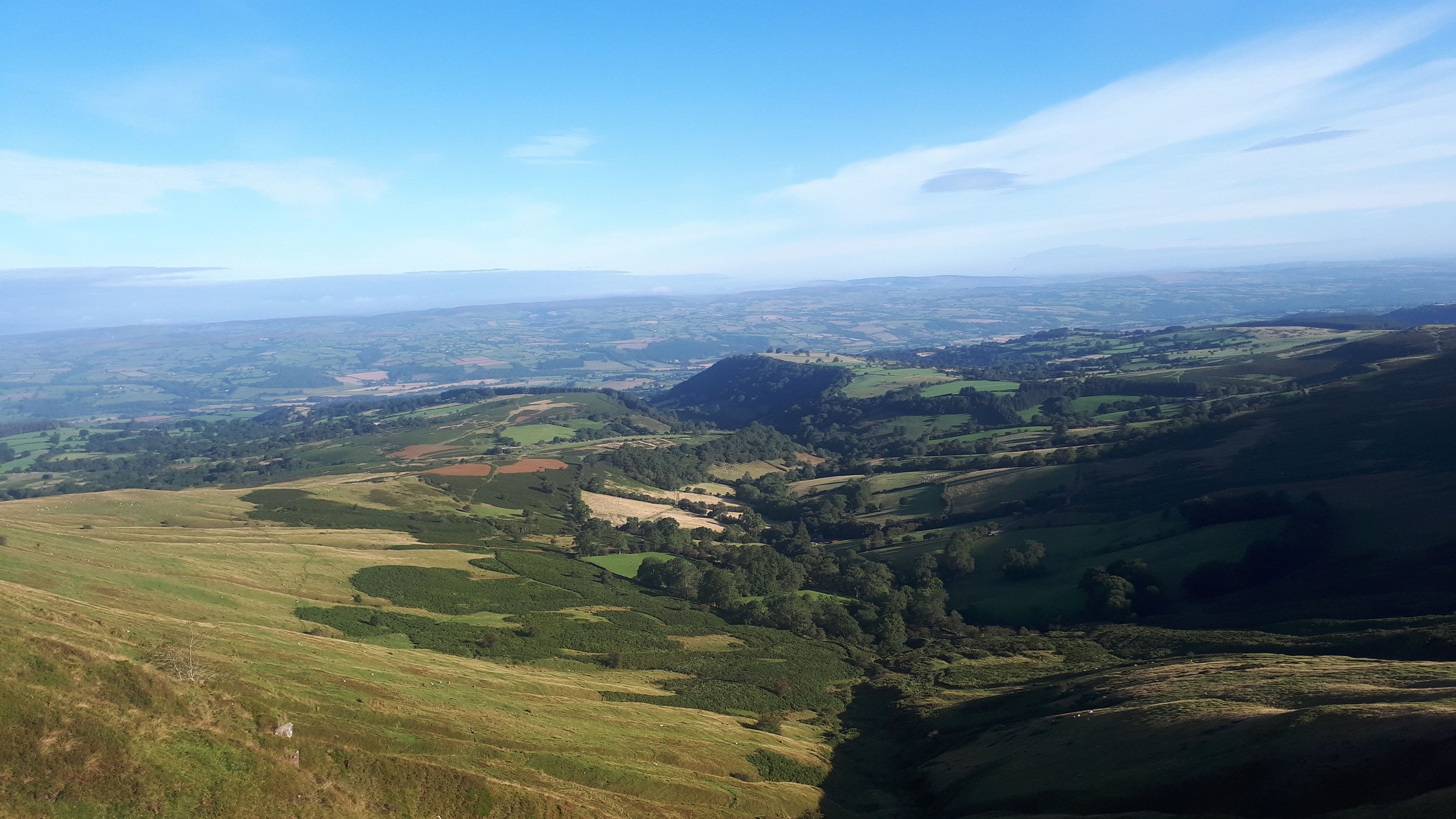
A 4 Boot Walk. A scenic walk that takes us into the heart of the Black Mountains . After ascending to the saddle between Pen Trumau and Mynydd Lysiau, we then follow the green path constructed by the infamous landowner John McNamara. We descend along the beautiful Grwyne Fechan valley passing the derelict Hermitage building before ascending to a ridge. After passing the summits of Pen Twyn Glas and Mynydd Llysiau, we descend to our start point.
How to Find the Starting Point: Dinas Castle pub car park, Pengenffordd on the A479 (NB: £2 car park fee)
Download the What3words app on your phone, and use the following address which will take you to the exact 3x3 metre square where this walk will start:
https://w3w.co/haystack.pint.beards
Start Time: 09.00
End Time: 16.30
Time: 7 hrs 30 mins
Distance: 22 km / 14 miles
Ascent: 700 m / 2240 ft
Leader: Gareth Jones
Packed Lunch: Bring Your Own
GPX Route File Download: TWF2023-11.gpx
Alternatively, here at the latitude and longitude coordinates and Map Grid Reference for the walk start location:
51.959407 , -3.2038645
Map Grid Reference: SO 173 296